
How to Access Local Traffic News in Your Area: Live Alerts, Channels, and Tools
11 min read
Accessing live traffic alerts in Toronto and surrounding areas requires combining multiple real-time sources, including local radio broadcasts, mobile applications, official transportation websites, and social media feeds from regional traffic authorities. The most effective approach layers these sources to create a comprehensive alert system tailored to your specific routes and commute patterns.
Toronto-area drivers face a complex transportation network where conditions shift rapidly due to collisions, construction, weather events, and special circumstances. Relying on a single source leaves gaps in coverage. Radio stations provide audio updates while you’re already on the road, but mobile apps and official feeds often detect incidents earlier. Social media channels from police services and transportation agencies frequently post real-time photographs and detailed closure information that traditional broadcasts can’t deliver in their time constraints.
The challenge lies not in finding traffic information, but in filtering the constant stream of alerts to focus on what affects your actual travel. A well-configured system distinguishes between a minor slowdown on a highway you never use and a complete closure on your daily route home. This requires understanding which sources cover which roads, how to set geographic boundaries in notification apps, and when to cross-reference reports before changing your planned route.
This guide walks through the major traffic information sources available to Toronto-area residents, the tools needed to access them, and the steps to build a reliable alert system. You’ll learn how to verify conflicting reports, configure notifications without creating distraction, and safely integrate traffic updates into your driving routine.
Understanding What Live Traffic Alerts Actually Provide
Live traffic alerts deliver specific, time-sensitive information about current road conditions rather than general transportation news or commentary. When you receive an alert, you’re getting concrete details about incidents affecting traffic flow right now: a collision blocking lanes on the highway, unexpected road closures due to water main breaks, active construction reducing capacity, or police activity requiring detours. These alerts differ fundamentally from broader traffic news, which might cover infrastructure projects, policy changes, or feature stories about commuter trends.
The timeliness of traffic information varies significantly by source. Real-time push notifications from navigation apps aim to alert you within minutes of an incident being reported, while scheduled radio traffic reports provide updates at regular intervals throughout drive times. This means a radio report might describe conditions that existed when the reporter gathered information, not necessarily what you’ll encounter on the road five minutes later.
No single source captures every incident instantaneously. Traffic alerts rely on data from multiple inputs, traffic cameras, sensors embedded in roadways, reports from other drivers, and information from emergency services. This collection and verification process introduces inherent delays. Additionally, rapidly changing situations like clearing accidents or shifting construction schedules can make even recent alerts outdated. Accuracy depends on the quality of reporting sources and how quickly platforms update their feeds when conditions improve or deteriorate.
What You Need to Set Up Traffic Alerts
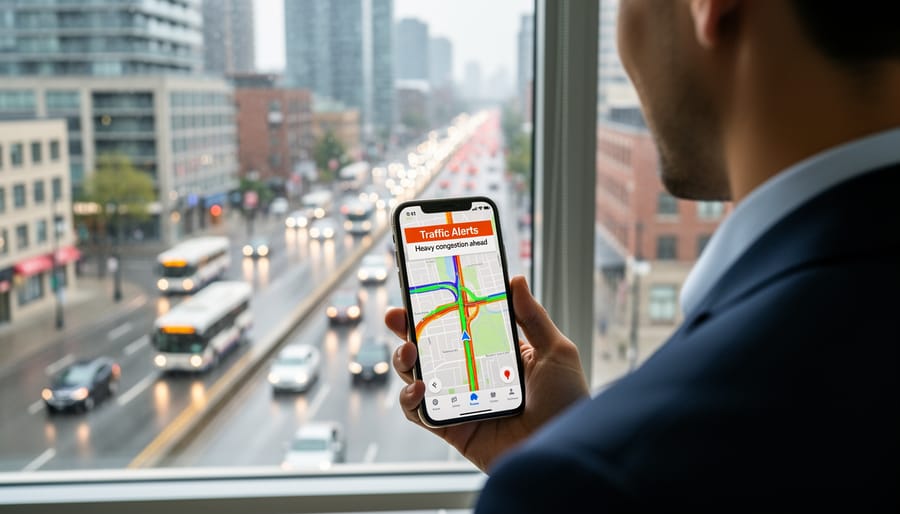
Setting up traffic alerts requires different tools depending on which methods you plan to use. At minimum, you need either a smartphone with an internet connection or a traditional radio capable of receiving local AM/FM stations. Most alert systems work best with a combination of devices to ensure redundancy when one source becomes unavailable.
Required and Optional Items:
- Smartphone (iOS or Android) or computer with internet access
- Active data plan or reliable Wi-Fi connection for app-based alerts
- Radio (vehicle or portable) for broadcast traffic reports
- Email address for account creation on traffic monitoring services
- Vehicle infotainment system with traffic integration (optional but convenient)
- Smart speaker or voice assistant device for hands-free updates (optional)
Account creation is necessary for most mobile apps and websites that offer customized alert zones or notification preferences. These accounts are typically free and require only basic information like email and location preferences.
Data usage varies by alert type. Push notifications consume minimal data, while streaming live traffic maps or checking frequent updates can use more. If you rely on mobile data for alerts during your commute, monitor usage during the first week to understand your consumption patterns and adjust settings accordingly.
Important Limitations and Considerations
Before relying on traffic alerts for daily navigation, understand their practical boundaries. Most alert systems carry an inherent reporting delay, incidents must be observed, verified, and transmitted before you receive them, meaning conditions may have already evolved by the time a notification reaches you. Radio broadcasts, while reliable, reflect a snapshot from minutes earlier rather than the current moment.
Coverage varies significantly across the Greater Toronto Area. Urban corridors receive dense monitoring, but secondary routes and suburban roads often have sparser reporting infrastructure. Relying exclusively on one source creates blind spots: an app might miss construction your local radio station announced, or social media could highlight an incident not yet reflected in municipal maps.
Location-based alerts require granting apps access to your position data, raising privacy considerations worth reviewing in each service’s settings. You control how much tracking you permit and whether that access remains continuous or restricted to active use.
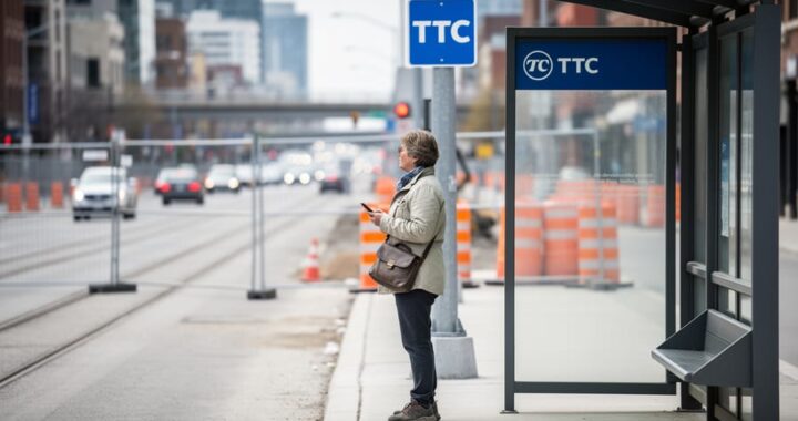
Traffic information complements but doesn’t replace your judgment. Weather, special events, and even stress and commute patterns all affect road conditions in ways alerts can’t fully capture. For transit users monitoring TTC closures timing combining scheduled information with live alerts provides the most complete picture.
How to Access Traffic Alerts Step by Step
Tuning Into Radio Traffic Reports
Start by scanning your radio dial for stations that include “traffic” or “news” in their format description. Most major AM and FM stations in the Toronto area broadcast traffic updates during morning and evening commute hours, though the frequency and depth of coverage varies by station.
Listen to your preferred stations during peak commute times, typically between 6:00 and 9:00 AM and 3:30 to 6:30 PM, to identify when traffic reports air. Some stations follow predictable patterns, while others insert updates as breaking incidents occur. Pay attention over several days to notice whether a station provides traffic information at regular intervals or only during major disruptions.
Note which stations give detailed route-specific information versus brief general summaries. Stations with dedicated traffic reporters often provide more granular coverage of highways, arterial roads, and alternative routes. Others may only mention major expressway delays.
Save several traffic-reporting stations as presets in your vehicle or home radio. This redundancy proves valuable when one station is in a commercial break or experiencing technical issues. Radio remains reliable during cellular network outages and doesn’t require data plans or battery-powered devices, making it an essential backup method for traffic information even if you primarily use apps or online sources.
Setting Up Mobile Navigation and Traffic Apps
Mobile navigation apps bring real-time traffic information directly to your device, allowing you to receive alerts about conditions along your regular routes. The configuration process involves several distinct steps that apply broadly across platforms.
- Visit your device’s app store and search for navigation applications that include traffic features. Download your chosen app and open it to begin the setup process.
- When prompted, grant the app permission to access your location. This allows the system to identify relevant traffic incidents and suggest alternate routes based on where you are.
- Navigate to the app’s settings menu and locate notification or alert preferences. Enable push notifications to receive updates even when the app is not actively open.
- Configure your home and work addresses if the app offers this feature. Many applications use these locations to provide proactive alerts about conditions along your typical commute routes.
- Customize the types of alerts you want to receive. Options often include incidents, construction, road closures, and severe delays. Select categories that match your information needs without creating excessive notification volume.
- Set your preferred notification timing and frequency. Some apps allow you to establish quiet hours or specify how far in advance you want to be alerted about upcoming conditions.
- Test the configuration by checking that you receive a sample notification or by monitoring alerts during your next trip.
After completing these steps, the app should begin delivering traffic information relevant to your location and saved routes. Check notification settings periodically to confirm alerts are coming through and adjust sensitivity if you find yourself receiving too many or too few updates. Most navigation apps continue to refine their alert systems based on user behaviour, so revisiting your preferences after a few weeks of use helps optimize the information flow.
Accessing Online Traffic Maps and Websites
Municipal and regional transportation authorities maintain traffic websites that display current road conditions without requiring app downloads. Start by searching for your city’s official transportation department website, then bookmark the traffic or road conditions page for quick access. The City of Toronto and regional authorities typically provide dedicated portals showing active incidents, construction zones, and road closures on interactive maps.
These sites use colour-coded overlays to indicate traffic flow: green usually means clear movement, yellow suggests moderate congestion, and red indicates heavy delays or stopped traffic. Click on incident markers to see detailed descriptions, including the type of problem, affected lanes, and estimated duration when available. Most sites display a separate incident list alongside the map, allowing you to scan multiple problems at once.
Refresh the page manually to see updated conditions, most websites update their data feeds continuously, but your browser won’t automatically show changes without reloading. Some sites include a timestamp showing when the data was last updated, which helps you gauge information freshness. Bookmark multiple sources covering different jurisdictions if you regularly cross municipal boundaries, ensuring comprehensive coverage of your typical routes.
Following Social Media and News Channels
Start by searching your social media platform for the official accounts of Toronto-area transportation authorities, look for verified checkmarks and government domain links in their profiles to confirm authenticity. Follow these official sources and turn on post notifications so you receive immediate updates when they publish traffic alerts. Add local news stations and their traffic-specific accounts to your following list, prioritizing outlets that post frequent road condition updates rather than general news.
When you see a traffic report on social media, check the timestamp to gauge how current the information is. Cross-reference major incidents with at least one other source before changing your route, since unverified user posts can contain outdated or inaccurate details. Official transportation accounts typically provide the most reliable incident confirmations, while news outlet posts often add context about expected delays or alternate routes.
Review your feed after a few days to identify which accounts consistently post timely, useful updates for your specific area. Unfollow or mute sources that generate excessive posts unrelated to traffic, keeping your notification stream focused on actionable road condition alerts.
Using Smart Assistants and Voice-Activated Devices
Ask your smart assistant for traffic by saying “what’s the traffic like to [destination]” or “is there traffic on [route name].” If your device supports routines, add a traffic briefing to your morning sequence so you hear updates automatically while getting ready. Set these up through the companion app on your phone by creating a routine triggered by time or alarm, then adding traffic to the actions list. Most voice assistants can report conditions for saved locations like “home” or “work” once you’ve configured addresses in your profile. Enable brief mode if available to get condensed updates without lengthy responses, which works better when you’re moving through your morning tasks.
How to Know Your System Is Working
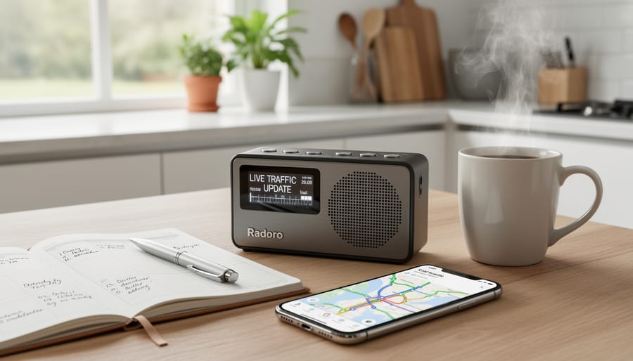
Test your alert configuration by checking one source at a known time to confirm delivery. Open your primary navigation app and verify that real-time incident markers appear on the map. Check your notification history to ensure recent alerts have arrived as expected. If you’ve enabled voice assistant briefings, request a traffic update to confirm the integration responds correctly.
When notifications arrive, they should include specific location details and incident types rather than vague warnings. Pay attention to whether alerts reference areas along your regular routes. If you receive notifications for irrelevant regions, adjust your location settings or radius preferences to narrow the coverage zone.
Similar to troubleshooting other home setup tips, start with the basics if alerts aren’t appearing. Verify that location permissions remain enabled, notification settings haven’t been silenced, and background app refresh is active where required. Check whether your device’s battery saver mode might be blocking updates. For radio sources, confirm you’re tuned to stations during their traffic update windows rather than general programming.
If one source consistently underperforms, don’t rely on it exclusively. Rotate between your configured options over several days to identify which delivers the most relevant, timely information for your specific commute patterns.
Common Questions About Traffic Alert Access
Do I need to pay for traffic alerts?
Most traffic alert sources in the Toronto area are free to access, including radio reports, municipal websites, and basic navigation app features. Some premium services offer additional features like advanced route planning or ad-free experiences, but free options provide comprehensive coverage for typical commuting needs.
Can I get traffic updates without a smartphone?
Yes, radio broadcasts and desktop computer access to traffic websites remain viable options for staying informed. AM radio stations continue to provide regular traffic updates that require only a basic radio receiver, while home computers can access the same web-based traffic maps available on mobile devices.
How do I prevent too many notifications from overwhelming me?
Customize your alert settings to focus on specific routes or times when you actually commute. Most apps allow you to set geographic boundaries, time windows, and severity thresholds so you only receive notifications about significant incidents affecting your regular travel paths.
Should I use multiple traffic alert sources?
Using at least two different sources provides valuable redundancy, since no single system captures every incident immediately. A combination approach, such as a navigation app paired with radio or social media, helps ensure you receive critical updates even if one source experiences delays or outages.
These common concerns reflect the practical realities of setting up traffic alerts in a busy urban area. The cost question matters because while basic access is free, you might encounter upgrade prompts or premium tiers that aren’t necessary for effective traffic monitoring. Smartphone-free options remain relevant for households where not everyone carries a mobile device or for situations where battery life becomes a concern during extended commutes.
Alert fatigue is real. When you first enable notifications, you might receive updates about every minor slowdown across a broad area, which quickly becomes more noise than signal. Narrowing your alert radius to the corridors you actually use and setting minimum severity levels helps maintain the usefulness of notifications without constant interruptions. The multiple-source question addresses reliability concerns, traffic monitoring systems can have blind spots or reporting delays, so cross-referencing between different platforms increases the likelihood that you’ll learn about developing situations in time to adjust your route.
Establishing a reliable traffic alert system requires minimal effort but delivers significant practical value. The multiple access methods outlined here create redundancy that protects you when individual sources experience delays or outages during critical travel periods. Testing your configuration before you actually need it reveals gaps in coverage and notification timing that aren’t obvious during setup.
Review your alert settings every few months to prevent notification overload from drowning out genuinely urgent updates. What feels helpful initially can become background noise if every minor slowdown triggers your phone. Adjusting thresholds and geographic boundaries keeps your system focused on routes that actually matter to your daily patterns.
Staying engaged with local Toronto tips and broader community information sources builds the contextual awareness that makes traffic alerts more useful. Understanding construction timelines, event schedules, and seasonal patterns helps you anticipate disruptions before they appear in real-time notifications, turning reactive information into proactive planning.